
File:USA Hawaii location map.svg

Documënt uriginel (file tl format SVG, dimenjiuns nominales 1 441 × 935 pixels, dimenjiun dl file: 31 KB)
| Descriziun |
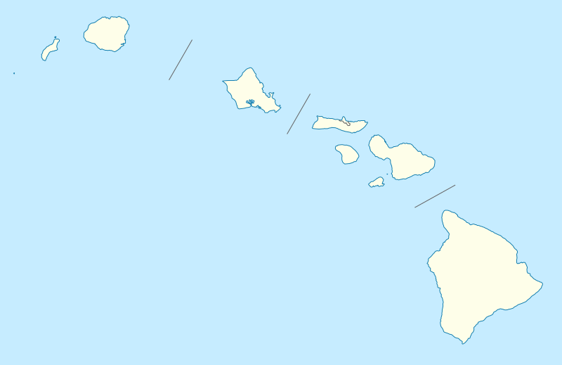
Quadratische Plattkarte, N-S-Streckung 107 %. Geographische Begrenzung der Karte:
Equirectangular projection, N/S stretching 107 %. Geographic limits of the map:
|
|
| Data | 09-06-2009 | |
| Funtana |
own work, using
|
|
| Autur | NordNordWest | |
| Lizënza (Tó ca danü chësc file) |
Questo file è disponibile in base alla licenza Creative Commons Attribuzione-Condividi allo stesso modo 3.0 Germania.
 Questo file è disponibile in base alla licenza Creative Commons Attribuzione-Condividi allo stesso modo 3.0 Germania.
|
|
| Altre versioni |
Opere derivate da questo file: |
|
| SVG sviluppo | Questa grafica vettoriale è stata creata con Inkscape, o con qualche altro programma. |


|
Questa mappa è stata prodotta e/o migliorata nel Kartenwerkstatt, il laboratorio grafico della Wikipedia tedesca, dove è possible proporre mappe da migliorare.
|
Storia dl documënt
Druca sun na data/ëura per udëi l documënt coche l fo te chël mumënt.
| Data/Ëura | Miniatura | Grandëza | utënt | Cumentar | |
|---|---|---|---|---|---|
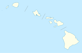
| atuel | 20:36, 13 jun 2009 | | 1 441 × 935 (31 KB) | NordNordWest | {{Information |Description= {{de|Positionskarte von Hawaii, USA}} Quadratische Plattkarte, N-S-Streckung 107 %. Geographische Begrenzung der Karte: * N: 22.4° N * S: 18.7° N * W: 160.7° W * O: 154.6° W {{en|Location map of [ |
Coche l document ie stat adurvà
Chësta 2 plates adroa chësc documënt:
Coche l documënt ie stat adurvà ntëur l mond
Ënghe chësta wikis adroa chësc documënt:
- Adurvà sun af.wikipedia.org
- Adurvà sun an.wikipedia.org
- Adurvà sun ar.wikipedia.org
- Adurvà sun ast.wikipedia.org
- Archipiélagu de Ḥawai
- Honolulu
- Sablera Lanikai
- Oahu
- Waikiki
- Haleakala
- Mauna Loa
- Observatorios de Mauna Kea
- Cadena de montes somarinos Ḥawai-Emperador
- Mauna Kea
- Pearl Harbor
- Módulu:Mapa de llocalización/datos/Ḥawai
- Módulu:Mapa de llocalización/datos/Ḥawai/usu
- Kilauea
- Wheeler Army Airfield
- Niihau
- Diamond Head (Ḥawai)
- Adurvà sun azb.wikipedia.org
- کاهیلوئی، هاوایی
- منیل هاوایی
- وایوآینیو، هاوایی
- دیسکاوری هاربور، هاوایی
- ماهیناهینا، هاوایی
- هواولیهوا، هاوایی
- هایکو، هاوایی
- هوناناو، هاوایی
- کینی، هاوایی
- هیلهوماها، هاوایی
- وایکله، هاوایی
- لانیوپوکو، هاوایی
- میلیلانی ماکا، هاوایی
- وست لاک استیتس، هاوایی
- نīنول، هاوایی
- پاوهاو، هاوایی
- پāپاʻالوا، هاوایی
- ʻوالاپوʻ، هاوایی
- وولکانو، هاوایی
- هیلو، هاوایی
- ایشوفیلد باراکس
- کایلوا-کونا، هاوایی
- کاپولئی، هاوایی
- کیلیا، هاوایی
Mostra utilisaziun globala de chësc file.