
File:Antigua and Barbuda location map Topographic.png
Dimenjiuns de chësta odüda danfora:521 x 599 pixel. Autra resoluzions: 209 x 240 pixel | 417 x 480 pixel | 668 x 768 pixel | 1 111 x 1 278 pixel.
Documënt uriginel (1 111 × 1 278 pixels, dimenjiun dl file: 300 KB, MIME type: image/png)
Ressumé
| Descriziun |
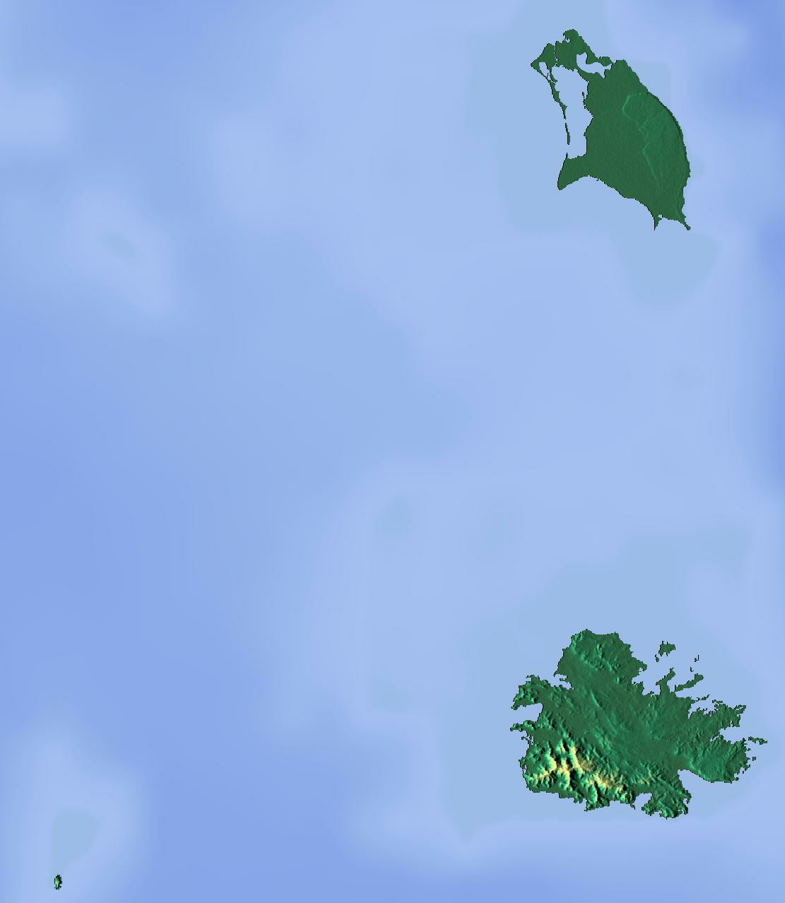
Deutsch: Positionskarte von Antigua und Barbuda. Geographische Begrenzungen der Karte:
English: Location map of Antigua and Barbuda. Geographic limits of the map:
|
| Data | |
| Funtana | Opera personala (backgroung : http://www.maps-for-free.com) |
| Autur | Dr Brains |
Lizënza
Io, detentore del copyright su quest'opera, dichiaro di pubblicarla con le seguenti licenze:

|
È permesso copiare, distribuire e/o modificare questo documento in base ai termini della licenza GNU Free Documentation License, solo versione 1.2, come pubblicata dalla Free Software Foundation; senza sezioni non modificabili, nessun testo copertina, e nessun testo di retro copertina. Una copia della licenza è inclusa nella sezione intitolata GNU Free Documentation License. | 1,2 solo |
|
|
È permesso copiare, distribuire e/o modificare questo documento in base ai termini della GNU Free Documentation License, Versione 1.3 o successive pubblicata dalla Free Software Foundation; senza alcuna sezione non modificabile, senza testo di copertina e senza testo di quarta di copertina. Una copia della licenza è inclusa nella sezione intitolata "Testo della GNU Free Documentation License".
|
Pos chirí fora la lizënza che as plü ion
Storia dl documënt
Druca sun na data/ëura per udëi l documënt coche l fo te chël mumënt.
| Data/Ëura | Miniatura | Grandëza | utënt | Cumentar | |
|---|---|---|---|---|---|
| atuel | 18:46, 13 jun 2012 | | 1 111 × 1 278 (300 KB) | Dr Brains |
Coche l document ie stat adurvà
Chësta 2 plates adroa chësc documënt:
Coche l documënt ie stat adurvà ntëur l mond
Ënghe chësta wikis adroa chësc documënt:
- Adurvà sun ar.wikipedia.org
- Adurvà sun ast.wikipedia.org
- Adurvà sun be.wikipedia.org
- Adurvà sun bg.wikipedia.org
- Adurvà sun bn.wikipedia.org
- Adurvà sun bs.wikipedia.org
- Adurvà sun ceb.wikipedia.org
- Adurvà sun cs.wikipedia.org
- Adurvà sun el.wikipedia.org
- Adurvà sun en.wikipedia.org
- Redonda
- Antigua
- Prickly Pear Island
- Great Bird Island (Antigua and Barbuda)
- Crump Island
- Guiana Island
- Long Island (Antigua and Barbuda)
- Green Island (Antigua and Barbuda)
- Boggy Peak
- Codrington Lagoon
- Pelican Island (Antigua and Barbuda)
- McKinnon's Pond
- Module:Location map/data/Antigua and Barbuda/doc
- Antigua Formation
- Central Plain Group
- Highlands Formation
- List of fossiliferous stratigraphic units in the Caribbean
- Codrington Island
- Hell's Gate Island
- Maiden Island (Antigua and Barbuda)
- 1974 Lesser Antilles earthquake
- Module:Location map/data/Antigua and Barbuda
- User:Ty654/List of earthquakes from 1950-1999 exceeding magnitude 7+
- User:Ty654/List of earthquakes from 1960-1964 exceeding magnitude 6+
- Antigua Naval Dockyard and Related Archaeological Sites
- Adurvà sun eo.wikipedia.org
Mostra utilisaziun globala de chësc file.