
File:Antwerp, Ohio as viewed from Main Street.JPG
Documënt uriginel (3 264 × 2 448 pixels, dimenjiun dl file: 3,34 MB, MIME type: image/jpeg)
| Luogo dello scatto | | Posizione di questa e altre immagini su: OpenStreetMap |
|---|
| Descriziun |
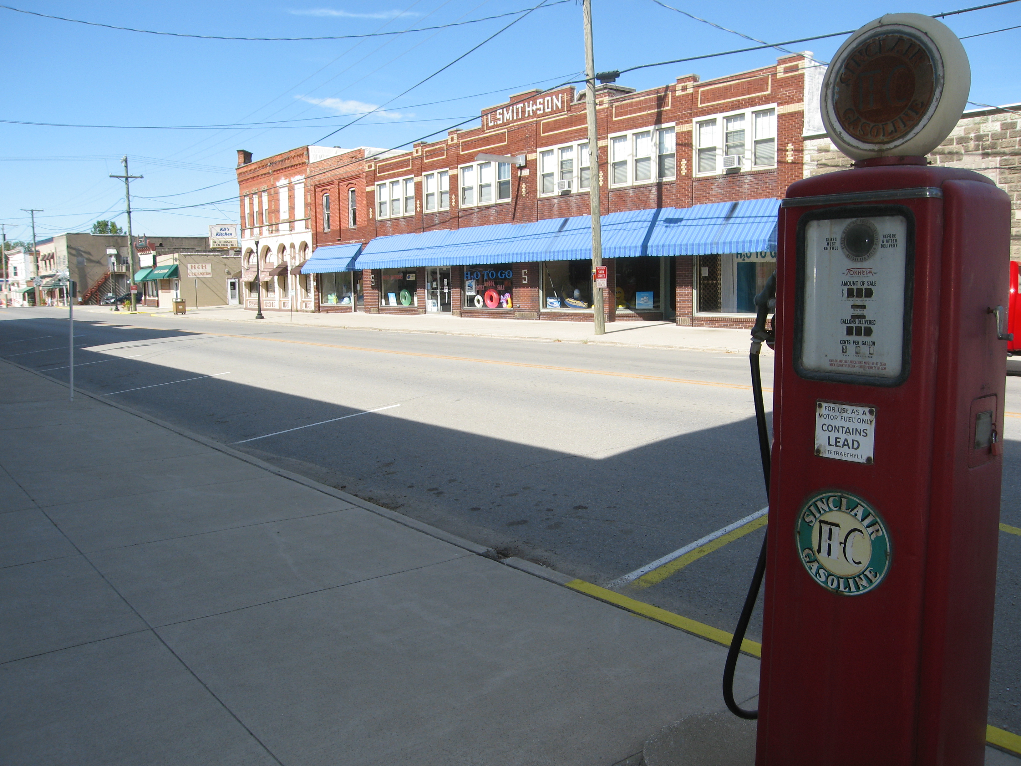
Photograph of the village of Antwerp, Ohioen, taken at street level from the intersection of Daggett and Main streets, looking North West up Ohio State Route 49 toward U.S. Route 24. |
| Data | |
| Funtana | My own photographic work. |
| Autur | Photo by and ©2008 Dustin M. Ramsey (Kralizec!) |
| Lizënza (Tó ca danü chësc file) |
You may NOT use this image on your own web site or anywhere else unless you release this image and any derivative works (which may include the web page or other medium where this image is used, if it is not considered a "collective work") by following the terms of the following license. Any other use will be considered a breach of copyright and I reserve the right of legal action. Please do not copy this image illegally by ignoring the terms of the license, as it is not in the public domain. If you would like special permission to use, license, or purchase the image or prints of the image, or for use in any other fashion or would simply like a copy of the original file, please contact me or email me first to ask. Note: While you are not required to do so by the license, please consider letting me know when you reuse one of my photograph images, as a courtesy. Io, detentore del copyright su quest'opera, dichiaro di pubblicarla con la seguente licenza: Questo file è disponibile in base alla licenza Creative Commons Attribuzione-Condividi allo stesso modo 2.5 Generico
|
Storia dl documënt
Druca sun na data/ëura per udëi l documënt coche l fo te chël mumënt.
| Data/Ëura | Miniatura | Grandëza | utënt | Cumentar | |
|---|---|---|---|---|---|
| atuel | 16:55, 21 uto 2008 | | 3 264 × 2 448 (3,34 MB) | Kralizec! | {{Information |Description = Photograph of the village of Antwerp, {{MultiLink|Ohio}}, taken at street level from the intersection of Daggett and Main streets, looking North West up [[:en:Ohio St |
Coche l document ie stat adurvà
Chësta plata adroa chësc documënt:
Coche l documënt ie stat adurvà ntëur l mond
Ënghe chësta wikis adroa chësc documënt:
- Adurvà sun ar.wikipedia.org
- Adurvà sun ca.wikipedia.org
- Adurvà sun ceb.wikipedia.org
- Adurvà sun cy.wikipedia.org
- Adurvà sun en.wikipedia.org
- Adurvà sun es.wikipedia.org
- Adurvà sun eu.wikipedia.org
- Adurvà sun fa.wikipedia.org
- Adurvà sun fr.wikipedia.org
- Adurvà sun ht.wikipedia.org
- Adurvà sun it.wikipedia.org
- Adurvà sun nl.wikipedia.org
- Adurvà sun pl.wikipedia.org
- Adurvà sun pt.wikipedia.org
- Adurvà sun sh.wikipedia.org
- Adurvà sun sr.wikipedia.org
- Adurvà sun uk.wikipedia.org
- Adurvà sun vi.wikipedia.org
- Adurvà sun www.wikidata.org
- Adurvà sun zh-min-nan.wikipedia.org