
File:Bhutan relief location map.jpg

Documënt uriginel (874 × 570 pixels, dimenjiun dl file: 361 KB, MIME type: image/jpeg)
Ressumé
| Descriziun |
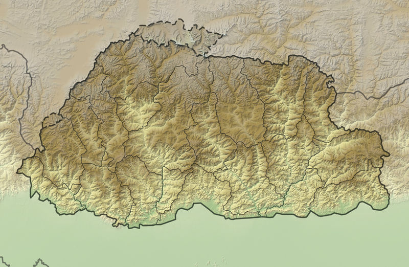
Deutsch: Positionskarte von Bhutan
Quadratische Plattkarte, N-S-Streckung 115 %. Geographische Begrenzung der Karte:
English: Location map of Bhutan
Equirectangular projection, N/S stretching 115 %. Geographic limits of the map:
|
|
| Data | ||
| Funtana |
own work, using
|
|
| Autur | NordNordWest | |
| Lizënza (Tó ca danü chësc file) |
Questo file è disponibile in base alla licenza Creative Commons Attribuzione-Condividi allo stesso modo 3.0 Germania.
 Questo file è disponibile in base alla licenza Creative Commons Attribuzione-Condividi allo stesso modo 3.0 Germania.
|
|
| Altre versioni |
|


|
Questa mappa è stata prodotta e/o migliorata nel Kartenwerkstatt, il laboratorio grafico della Wikipedia tedesca, dove è possible proporre mappe da migliorare.
|
Storia dl documënt
Druca sun na data/ëura per udëi l documënt coche l fo te chël mumënt.
| Data/Ëura | Miniatura | Grandëza | utënt | Cumentar | |
|---|---|---|---|---|---|
| atuel | 21:06, 2 dez 2011 | | 874 × 570 (361 KB) | NordNordWest | == {{int:filedesc}} == {{Information |Description= {{de|Positionskarte von Bhutan}} Quadratische Plattkarte, N-S-Streckung 115 %. Geographische Begrenzung der Karte: * N: 28.5° N * S: 26.4° N * W: 88.6° O * O: 92.3° O {{en|Location map |
Coche l document ie stat adurvà
Chësta 9 plates adroa chësc documënt:
Coche l documënt ie stat adurvà ntëur l mond
Ënghe chësta wikis adroa chësc documënt:
- Adurvà sun ar.wikipedia.org
- Adurvà sun ast.wikipedia.org
- Adurvà sun ba.wikipedia.org
- Adurvà sun be.wikipedia.org
- Adurvà sun bn.wikipedia.org
- Adurvà sun bs.wikipedia.org
- Adurvà sun ceb.wikipedia.org
- Adurvà sun ce.wikipedia.org
- Adurvà sun ckb.wikipedia.org
- Adurvà sun cs.wikipedia.org
- Adurvà sun de.wikivoyage.org
- Adurvà sun dsb.wikipedia.org
- Adurvà sun el.wikipedia.org
- Adurvà sun en.wikipedia.org
- Adurvà sun eo.wikipedia.org
- Gangkhar Puensum
- Ŝablono:Situo sur mapo Butano
- Distrikto Ĉuĥa
- Distrikto Haa
- Distrikto Paro
- Distrikto Samce
- Distrikto Timbuo
- Distrikto Lhunce
- Distrikto Mongar
- Distrikto Pemagatŝel
- Distrikto Samdrup Jongĥar
- Distrikto Traŝigang
- Distrikto Traŝijangste
- Distrikto Dagana
- Distrikto Gasa
- Distrikto Punaĥa
- Distrikto Cirang
- Distrikto Bumthang
- Distrikto Sarpang
- Distrikto Trongsa
Mostra utilisaziun globala de chësc file.