
File:Guyana location map.svg

Dimensioni di questa anteprima PNG per questo file SVG: 407 x 599 pixel. Autra resoluzions: 163 x 240 pixel | 326 x 480 pixel | 522 x 768 pixel | 695 x 1 024 pixel | 1 391 x 2 048 pixel | 1 252 x 1 843 pixel.
Documënt uriginel (file tl format SVG, dimenjiuns nominales 1 252 × 1 843 pixels, dimenjiun dl file: 293 KB)
Ressumé
| Descriziun |
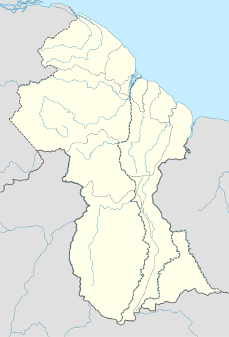
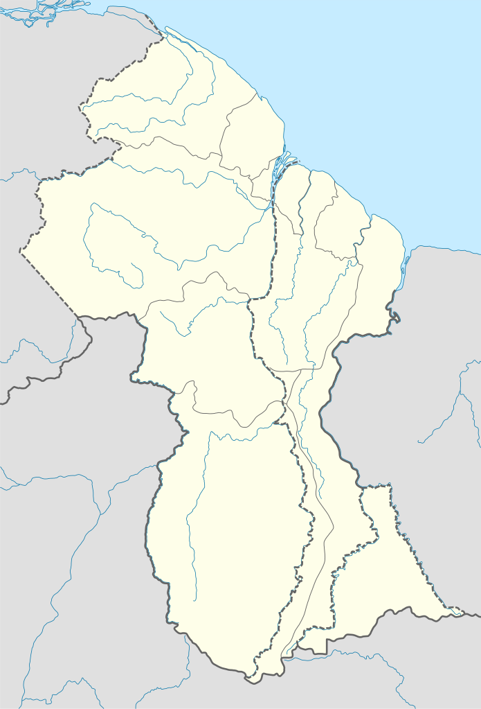
Deutsch: Positionskarte von Guyana
Quadratische Plattkarte. Geographische Begrenzung der Karte:
English: Location map of Guyana
Equirectangular projection. Geographic limits of the map:
|
| Data | 02.12.2008 |
| Funtana |
own work, using
|
| Autur | NordNordWest |
| Altre versioni | Derivative works of this file: Guyana relief location map.jpg |

|
Questa mappa è stata prodotta e/o migliorata nel Kartenwerkstatt, il laboratorio grafico della Wikipedia tedesca, dove è possible proporre mappe da migliorare.
|
Lizënza
Io, detentore del copyright su quest'opera, dichiaro di pubblicarla con le seguenti licenze:

|
AL é la lizënza da copié, da dé inant y/o müdé chësc documënt aladô dla lizënza GNU Free Documentation License, Verjiun 1.2 o vigni atra verjiun suandënta publicada dala Free Software Foundation; zënza seziuns che ara ne vá nia da mudé, zënza test söl cuertl ca dant y do ia. Na copia dla lizënza é tla seziun cun le titul Test dla GNU Free Documentation License. |
Chësc file á la lizënza de destribuziun aladô dla lizënza Creative Commons Attribution-Share Alike 3.0 Unported.
- Tu ies liede:
- da spartì – per cupié, spartësc y manda l lëur
- da mudé – da adaté al lëur
- A chësta condizions:
- atribuzion – Tu mues atribué l lëur te la maniera che à spiegà l autëur o chël che à la lizënza (ma nia te na maniera che l smea che ëi te paiessa).
- fá na condivijiun tla medema manira – Sce te mudes o svilupeies chësc test, pudres mé spartì ora l lëur sota la medema lizënza o una che ti smea a chësta same or compatible license
Pos chirí fora la lizënza che as plü ion
Storia dl documënt
Druca sun na data/ëura per udëi l documënt coche l fo te chël mumënt.
| Data/Ëura | Miniatura | Grandëza | utënt | Cumentar | |
|---|---|---|---|---|---|
| atuel | 19:03, 15 sët 2017 | | 1 252 × 1 843 (293 KB) | Milenioscuro | corrected disputed border with Venezuela |
| 06:09, 28 sët 2013 |  | 1 252 × 1 843 (342 KB) | Unukalhai | Reverted to version as of 04:34, 16 October 2012 | |
| 14:36, 24 fau 2013 |  | 1 252 × 1 843 (341 KB) | Wester | Reverted to version as of 19:53, 2 December 2008 | |
| 06:34, 16 uto 2012 |  | 1 252 × 1 843 (342 KB) | Unukalhai | Including disputed area by Venezuela, the same way wich the surinamese one appears in the map. http://treaties.un.org/pages/showDetails.aspx?objid=080000028012b96f | |
| 21:53, 2 dez 2008 |  | 1 252 × 1 843 (341 KB) | NordNordWest | {{Information |Description= {{de|Positionskarte von Guyana}} Quadratische Plattkarte. Geographische Begrenzung der Karte: * N: 8.7° N * S: 0.9° N * W: 61.6° W * O: 56.3° W {{en|Location map of Guyana}} Equirectangular pro |
Coche l document ie stat adurvà
Chësta plata adroa chësc documënt:
Coche l documënt ie stat adurvà ntëur l mond
Ënghe chësta wikis adroa chësc documënt:
- Adurvà sun af.wikipedia.org
- Adurvà sun an.wikipedia.org
- Adurvà sun ar.wikipedia.org
- Adurvà sun ast.wikipedia.org
- Adurvà sun az.wikipedia.org
- Adurvà sun ba.wikipedia.org
- Adurvà sun be-tarask.wikipedia.org
- Adurvà sun be.wikipedia.org
- Adurvà sun bg.wikipedia.org
- Adurvà sun bn.wikipedia.org
- Adurvà sun bs.wikipedia.org
- Adurvà sun ceb.wikipedia.org
Mostra utilisaziun globala de chësc file.