
File:Liechtenstein location map.svg

Dimensioni di questa anteprima PNG per questo file SVG: 565 x 600 pixel. Autra resoluzions: 226 x 240 pixel | 452 x 480 pixel | 723 x 768 pixel | 965 x 1 024 pixel | 1 929 x 2 048 pixel | 568 x 603 pixel.
Documënt uriginel (file tl format SVG, dimenjiuns nominales 568 × 603 pixels, dimenjiun dl file: 165 KB)
Ressumé
| Descriziun |
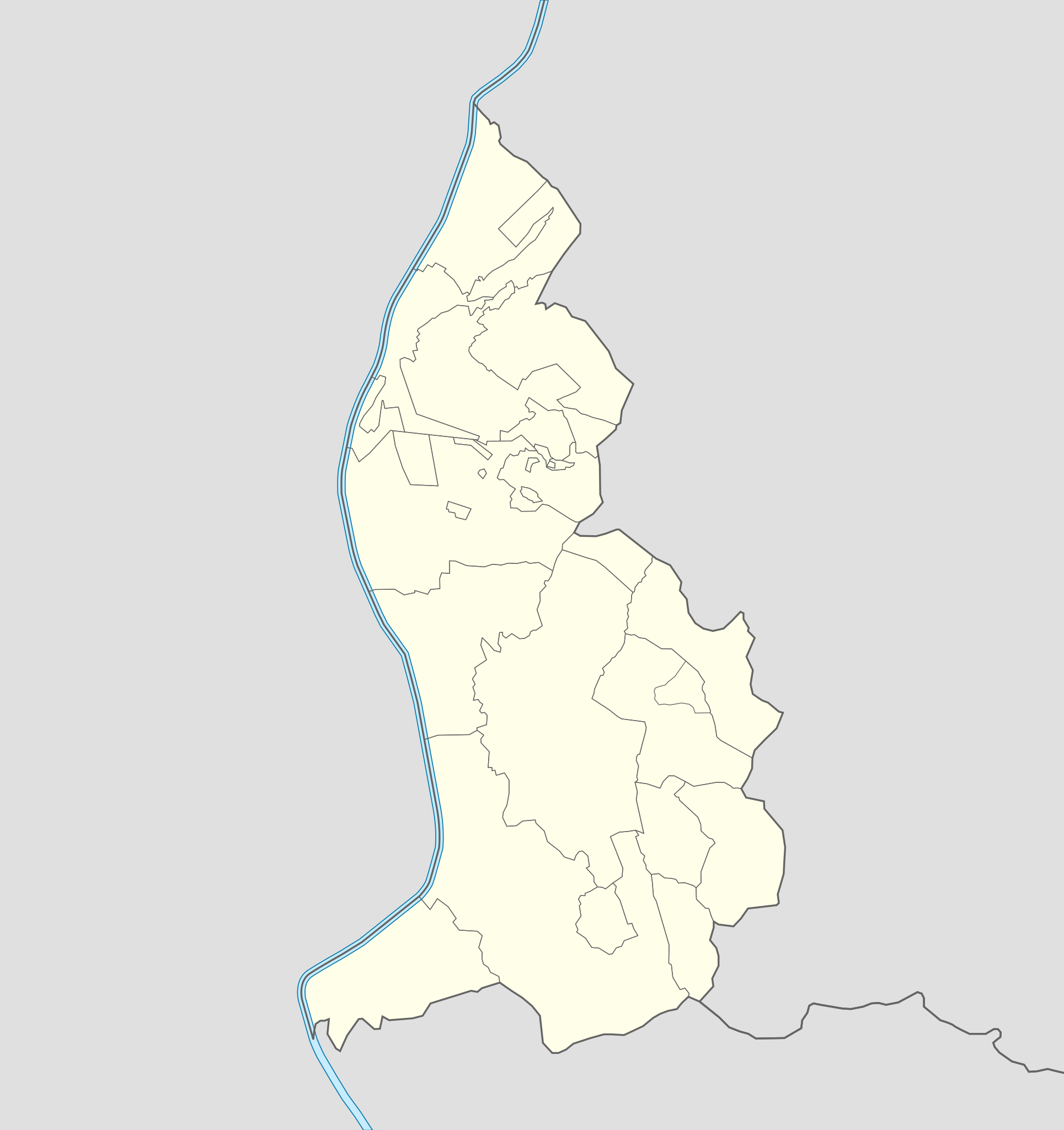
Deutsch: Positionskarte von Liechtenstein
Quadratische Plattkarte. Geographische Begrenzung der Karte:
English: Location map of Liechtenstein
Equirectangular projection. Geographic limits of the map:
|
||
| Data | 07-09-2008 | ||
| Funtana | own work, using Liechtenstein-Planken.svg by William Shewring | ||
| Autur | Maximilian Dörrbecker (Chumwa) | ||
| Lizënza (Tó ca danü chësc file) |
Io, detentore del copyright su quest'opera, dichiaro di pubblicarla con le seguenti licenze:
Chësc file á la lizënza de destribuziun aladô dla lizënza Creative Commons Attribution-Share Alike 3.0 Unported.
Pos chirí fora la lizënza che as plü ion |


|
Questa mappa è stata prodotta e/o migliorata nel Kartenwerkstatt, il laboratorio grafico della Wikipedia tedesca, dove è possible proporre mappe da migliorare.
|
Storia dl documënt
Druca sun na data/ëura per udëi l documënt coche l fo te chël mumënt.
| Data/Ëura | Miniatura | Grandëza | utënt | Cumentar | |
|---|---|---|---|---|---|
| atuel | 08:15, 29 sët 2013 | | 568 × 603 (165 KB) | Chumwa | corr |
| 22:35, 27 sët 2013 |  | 568 × 603 (80 KB) | Chumwa | corr | |
| 18:52, 22 sët 2008 |  | 568 × 604 (202 KB) | Chumwa | Flächenfarbe der "anderen Staaten" korrigiert | |
| 12:19, 7 sët 2008 |  | 568 × 604 (202 KB) | Chumwa | um bereits existierendes Breite-Höhe-Verhältnis wiederherzustellen... | |
| 11:34, 7 sët 2008 |  | 435 × 807 (202 KB) | Chumwa | == Beschreibung == {{Information |Description= {{de|Positionskarte von Liechtenstein}} Quadratische Plattkarte. Geographische Begrenzung der Karte: * N: 47.30° N * S: 47.03° N * W: 9.45° O * O: 9.67° O {{en|Location map of [[:de: |
Coche l document ie stat adurvà
Chësta plata adroa chësc documënt:
Coche l documënt ie stat adurvà ntëur l mond
Ënghe chësta wikis adroa chësc documënt:
- Adurvà sun af.wikipedia.org
- Adurvà sun als.wikipedia.org
- Adurvà sun an.wikipedia.org
- Vaduz
- Schaan
- Triesenberg
- Planken
- Balzers
- Triesen
- Schellenberg
- Ruggell
- Mauren
- Eschen
- Gamprin
- Bendern
- Plantilla:Mapa de localización Liechtenstein
- Nendeln
- Schaanwald
- Mäls
- Mühleholz
- Hinterschellenberg
- Ebenholz
- Gaflei
- Malbun
- Steg (Liechtenstein)
- Silum
- Masescha
- Rotenboden
- Samina (Liechtenstein)
- Wangerberg
- Sücka
- Adurvà sun ar.wikipedia.org
- Adurvà sun ast.wikipedia.org
Mostra utilisaziun globala de chësc file.