
File:Middle America relief location map.png
Dimenjiuns de chësta odüda danfora:800 x 538 pixel. Autra resoluzions: 320 x 215 pixel | 640 x 430 pixel | 1 024 x 688 pixel | 1 280 x 860 pixel | 2 000 x 1 344 pixel.
Documënt uriginel (2 000 × 1 344 pixels, dimenjiun dl file: 3,56 MB, MIME type: image/png)
Ressumé
| Descriziun |
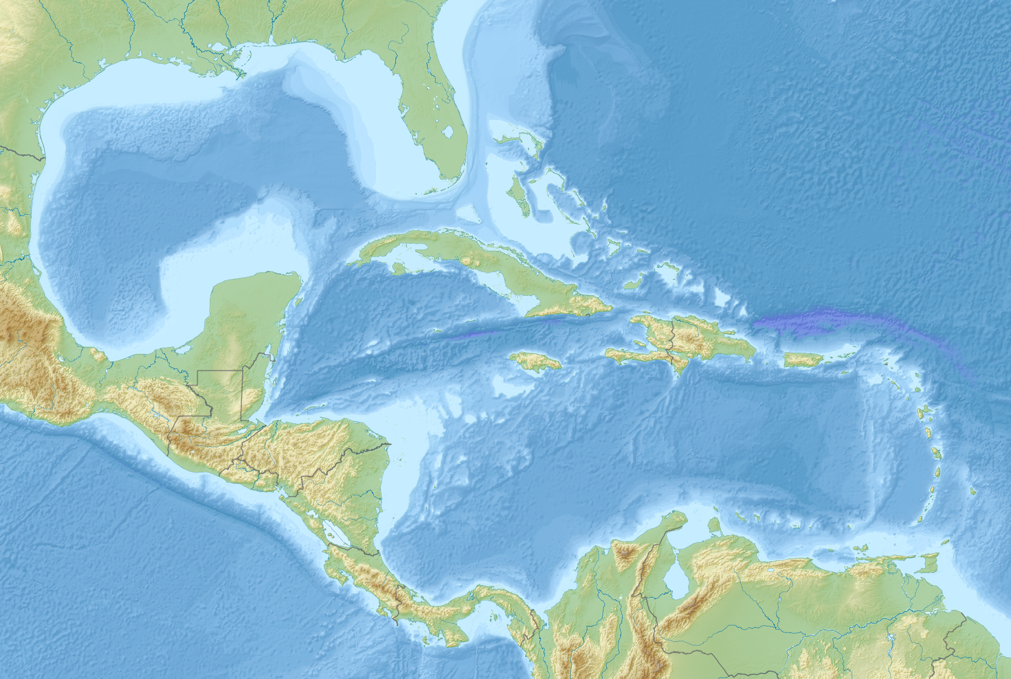
English: Map of Middle America, including the Gulf of Mexico and the Caribbean Sea, with the addition of national borders.
Equirectangular projection. Strechted by 106.0%. Geographic limits of the map:
Relief: ETOPO1. Coastline, borders, rivers etc: Made with Natural Earth. Free vector and raster map data @ naturalearthdata.com. |
| Data | |
| Funtana | Opera personala |
| Autur | Uwe Dedering |
Lizënza
Io, detentore del copyright su quest'opera, dichiaro di pubblicarla con la seguente licenza:
Chësc file á la lizënza de destribuziun aladô dla lizënza Creative Commons Attribution-Share Alike 3.0 Unported.
- Tu ies liede:
- da spartì – per cupié, spartësc y manda l lëur
- da mudé – da adaté al lëur
- A chësta condizions:
- atribuzion – Tu mues atribué l lëur te la maniera che à spiegà l autëur o chël che à la lizënza (ma nia te na maniera che l smea che ëi te paiessa).
- fá na condivijiun tla medema manira – Sce te mudes o svilupeies chësc test, pudres mé spartì ora l lëur sota la medema lizënza o una che ti smea a chësta same or compatible license
Storia dl documënt
Druca sun na data/ëura per udëi l documënt coche l fo te chël mumënt.
| Data/Ëura | Miniatura | Grandëza | utënt | Cumentar | |
|---|---|---|---|---|---|
| atuel | 11:14, 19 ago 2010 | | 2 000 × 1 344 (3,56 MB) | Uwe Dedering | {{Information |Description={{en|1=Map of Middle America, including the Gulf of Mexico and the Carribean Sea. Equirectangular projection. Strechted by 106.0%. Geographic limits of the map: * N: 32.0° N * S: 6.0° N * W: 99.0° W * E: 58.0° W Relief: [ |
Coche l document ie stat adurvà
L ne da deguna plates che adroa chësc documënt.
Coche l documënt ie stat adurvà ntëur l mond
Ënghe chësta wikis adroa chësc documënt:
- Adurvà sun ar.wikipedia.org
- Adurvà sun az.wikipedia.org
- Adurvà sun ba.wikipedia.org
- Adurvà sun ceb.wikipedia.org
- Adurvà sun ce.wikipedia.org
- Adurvà sun de.wikipedia.org
- Adurvà sun en.wikipedia.org
- 2006 Gulf of Mexico earthquake
- American Mediterranean Sea
- Module:Location map/data/Middle America/doc
- San Esteban (1554 shipwreck)
- 2004 Les Saintes earthquake
- 1843 Guadeloupe earthquake
- Module:Location map/data/Middle America
- 1867 Virgin Islands earthquake and tsunami
- 1839 Martinique earthquake
- Maya Block
- Yucatán Platform
- Adurvà sun es.wikipedia.org
- Adurvà sun et.wikipedia.org
- Adurvà sun fr.wikipedia.org
Mostra utilisaziun globala de chësc file.