File:Mount Malinao.jpg
Aspetto
Mount_Malinao.jpg (640 × 416 pixels, dimenjiun dl file: 43 KB, MIME type: image/jpeg)
Storia dl documënt
Druca sun na data/ëura per udëi l documënt coche l fo te chël mumënt.
| Data/Ëura | Miniatura | Grandëza | utënt | Cumentar | |
|---|---|---|---|---|---|
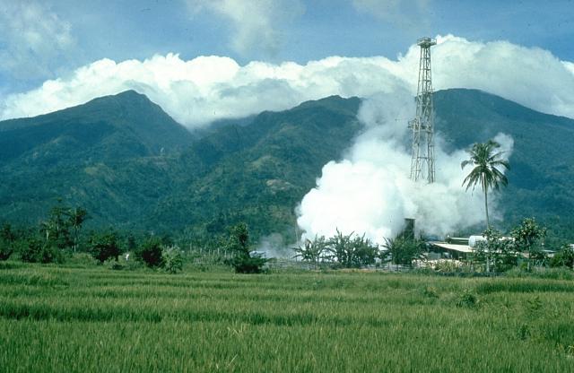
| atuel | 19:00, 11 uto 2010 |  | 640 × 416 (43 KB) | Michael Metzger | {{Information |Description=Mount Malinao is a forested stratovolcano with a summit crater that is breached to the east. The Tiwi geothermal field, seen here with the volcano in the background, is located on the east flanks of Malinao. The geothermal field |
Coche l document ie stat adurvà
Chësta plata adroa chësc documënt:
Coche l documënt ie stat adurvà ntëur l mond
Ënghe chësta wikis adroa chësc documënt:
- Adurvà sun arz.wikipedia.org
- Adurvà sun bcl.wikipedia.org
- Adurvà sun cs.wikipedia.org
- Adurvà sun de.wikipedia.org
- Adurvà sun en.wikipedia.org
- Adurvà sun fa.wikipedia.org
- Adurvà sun fr.wikipedia.org
- Adurvà sun ilo.wikipedia.org
- Adurvà sun nl.wikipedia.org
- Adurvà sun www.wikidata.org


