
File:St Andrew's Church, Hartburn - geograph.org.uk - 1752816.jpg
Dimenjiuns de chësta odüda danfora:800 x 521 pixel. Autra resoluzions: 320 x 208 pixel | 640 x 417 pixel | 1 024 x 667 pixel.
Documënt uriginel (1 024 × 667 pixels, dimenjiun dl file: 231 KB, MIME type: image/jpeg)
Ressumé
| Descriziun |
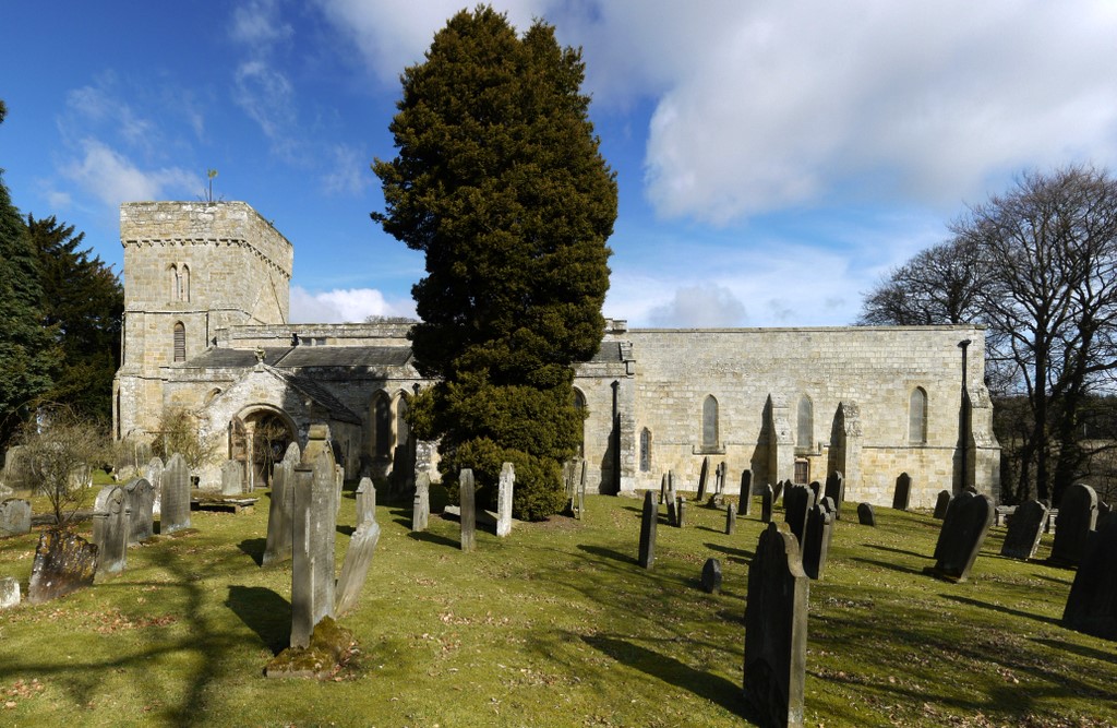
English: St Andrew's Church, Hartburn When the vestry was repaired of dry rot in 1966, a line of skeletons was found buried just beneath the floor. They were dated between 966 and 1166 AD http://ads.ahds.ac.uk/catalogue/search/fr.cfm?rcn=NSMR03-10451 |
| Data | |
| Funtana | From geograph.org.uk |
| Autur | Andrew Curtis |
| Atribuzion (richiesto dalla licenza) | Andrew Curtis / St Andrew's Church, Hartburn / |
| Luogo dello scatto | | Posizione di questa e altre immagini su: OpenStreetMap |
|---|
_heading:22.00&language=lld)
| Posizione del soggetto | | Posizione di questa e altre immagini su: OpenStreetMap |
|---|
_heading:22.00&language=lld)
Lizënza

|
Questa immagine proviene dalla collezione del progetto Geograph. Vedi questa fotografia sul sito web di Geograph per visualizzare i dettagli relativi al fotografo. Il copyright di questa immagine appartiene a Andrew Curtis ed è pubblicata secondo i termini della licenza Creative Commons Attribuzione-Condividi allo stesso modo 2.0.
|
Questo file è disponibile in base alla licenza Creative Commons Attribuzione-Condividi allo stesso modo 2.0 Generico
Atribuzion: Andrew Curtis
- Tu ies liede:
- da spartì – per cupié, spartësc y manda l lëur
- da mudé – da adaté al lëur
- A chësta condizions:
- atribuzion – Tu mues atribué l lëur te la maniera che à spiegà l autëur o chël che à la lizënza (ma nia te na maniera che l smea che ëi te paiessa).
- fá na condivijiun tla medema manira – Sce te mudes o svilupeies chësc test, pudres mé spartì ora l lëur sota la medema lizënza o una che ti smea a chësta same or compatible license
Storia dl documënt
Druca sun na data/ëura per udëi l documënt coche l fo te chël mumënt.
| Data/Ëura | Miniatura | Grandëza | utënt | Cumentar | |
|---|---|---|---|---|---|
| atuel | 02:28, 6 mer 2011 | | 1 024 × 667 (231 KB) | GeographBot | == {{int:filedesc}} == {{Information |description={{en|1=St Andrew's Church, Hartburn When the vestry was repaired of dry rot in 1966, a line of skeletons was found buried just beneath the floor. They were dated between 966 and 1166 AD http://ads.ahds.ac. |
Coche l document ie stat adurvà
Chësta plata adroa chësc documënt:
Coche l documënt ie stat adurvà ntëur l mond
Ënghe chësta wikis adroa chësc documënt:
- Adurvà sun ceb.wikipedia.org
- Adurvà sun cy.wikipedia.org
- Adurvà sun dag.wikipedia.org
- Adurvà sun en.wikipedia.org
- Adurvà sun fa.wikipedia.org
- Adurvà sun fr.wikipedia.org
- Adurvà sun www.wikidata.org
- Adurvà sun zh-min-nan.wikipedia.org