
File:St Mary, Kenardington - geograph.org.uk - 934058.jpg
Degöna resoluziun plü alta desponibla.
St_Mary,_Kenardington_-_geograph.org.uk_-_934058.jpg (640 × 486 pixels, dimenjiun dl file: 80 KB, MIME type: image/jpeg)
Ressumé
| Descriziun |
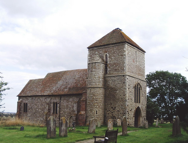
English: St Mary's parish church, Kenardington, Kent, seen from the northwest. Most of the masonry is either Hythe Beds limestone (Kentish Rag) or Ashdown sandstone (from the Hastings area), but the darker blocks seen in the tower are ferruginously-cemented sandy gravels. |
| Data | |
| Funtana | From geograph.org.uk |
| Autur | David Kemp |
| Atribuzion (richiesto dalla licenza) | David Kemp / St Mary, Kenardington / |
| Luogo dello scatto | | Posizione di questa e altre immagini su: OpenStreetMap |
|---|
_heading:135.00&language=lld)
| Posizione del soggetto | | Posizione di questa e altre immagini su: OpenStreetMap |
|---|
_heading:135.00&language=lld)
Lizënza

|
Questa immagine proviene dalla collezione del progetto Geograph. Vedi questa fotografia sul sito web di Geograph per visualizzare i dettagli relativi al fotografo. Il copyright di questa immagine appartiene a David Kemp ed è pubblicata secondo i termini della licenza Creative Commons Attribuzione-Condividi allo stesso modo 2.0.
|
Questo file è disponibile in base alla licenza Creative Commons Attribuzione-Condividi allo stesso modo 2.0 Generico
Atribuzion: David Kemp
- Tu ies liede:
- da spartì – per cupié, spartësc y manda l lëur
- da mudé – da adaté al lëur
- A chësta condizions:
- atribuzion – Tu mues atribué l lëur te la maniera che à spiegà l autëur o chël che à la lizënza (ma nia te na maniera che l smea che ëi te paiessa).
- fá na condivijiun tla medema manira – Sce te mudes o svilupeies chësc test, pudres mé spartì ora l lëur sota la medema lizënza o una che ti smea a chësta same or compatible license
Storia dl documënt
Druca sun na data/ëura per udëi l documënt coche l fo te chël mumënt.
| Data/Ëura | Miniatura | Grandëza | utënt | Cumentar | |
|---|---|---|---|---|---|
| atuel | 09:40, 22 fau 2011 | | 640 × 486 (80 KB) | GeographBot | == {{int:filedesc}} == {{Information |description={{en|1=St Mary, Kenardington After the church was struck by lightning in 1559, the remains of the nave and chancel were demolished. This explains the number of blocked up arches and windows found in the ex |
Coche l document ie stat adurvà
Chësta plata adroa chësc documënt:
Coche l documënt ie stat adurvà ntëur l mond
Ënghe chësta wikis adroa chësc documënt:
- Adurvà sun ceb.wikipedia.org
- Adurvà sun cy.wikipedia.org
- Adurvà sun en.wikipedia.org
- Adurvà sun es.wikipedia.org
- Adurvà sun fr.wikipedia.org
- Adurvà sun it.wikipedia.org
- Adurvà sun nl.wikipedia.org
- Adurvà sun pl.wikipedia.org
- Adurvà sun sv.wikipedia.org
- Adurvà sun www.wikidata.org