
File:Switzerland location map.svg

Dimensioni di questa anteprima PNG per questo file SVG: 800 x 513 pixel. Autra resoluzions: 320 x 205 pixel | 640 x 410 pixel | 1 024 x 657 pixel | 1 280 x 821 pixel | 2 560 x 1 642 pixel | 1 349 x 865 pixel.
Documënt uriginel (file tl format SVG, dimenjiuns nominales 1 349 × 865 pixels, dimenjiun dl file: 258 KB)
Ressumé
| Descriziun |
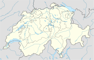
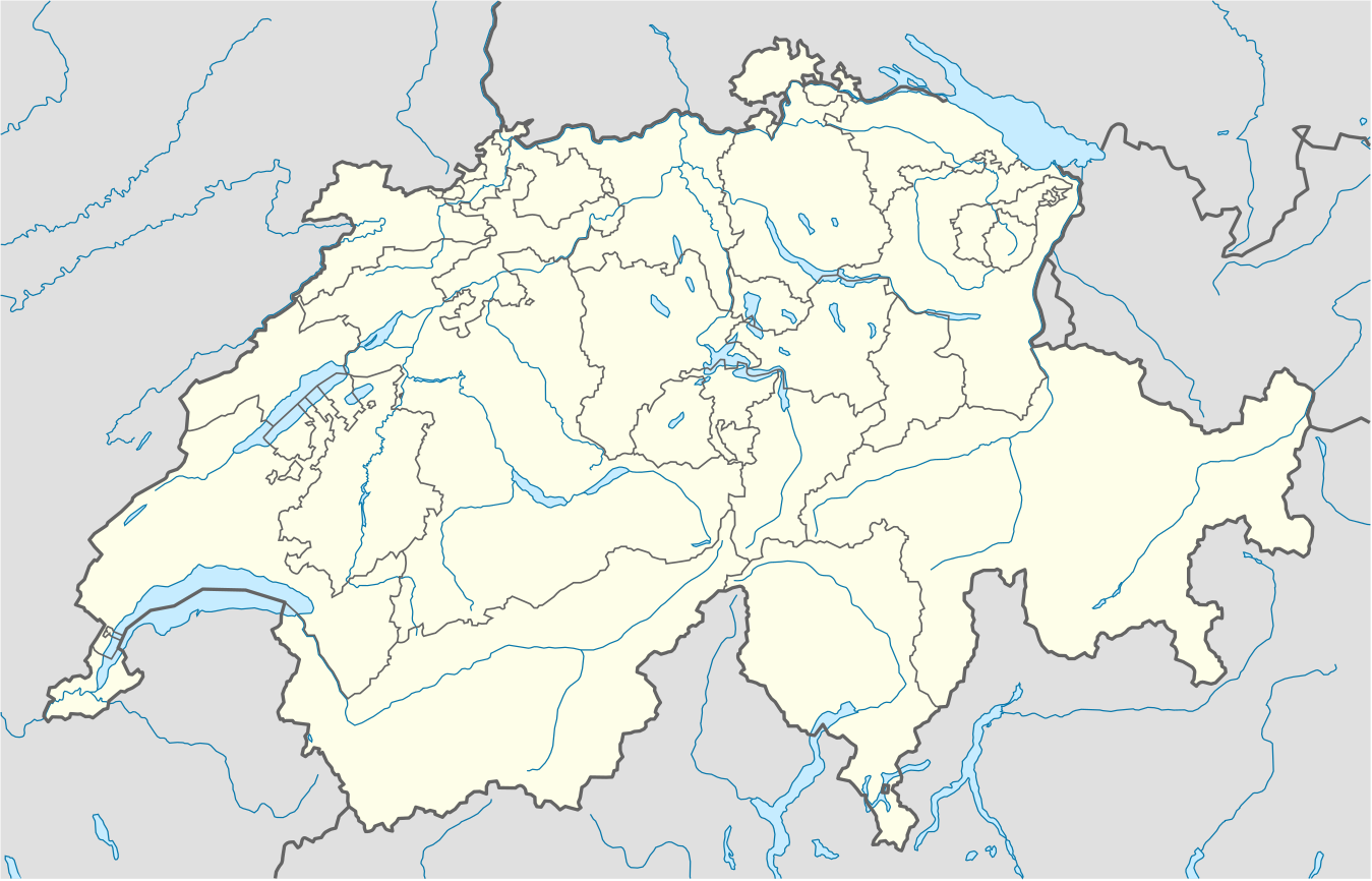
Deutsch: Positionskarte der Schweiz
Quadratische Plattkarte, N-S-Streckung 146,138 %. Geographische Begrenzung der Karte:
English: Location map of Switzerland
Equirectangular projection, N/S stretching 146,138 %. Geographic limits of the map:
|
| Data | |
| Funtana |
Opera personala, using
|
| Autur | NordNordWest |
| Altre versioni |
Derivative works of this file: Location of Battle of Winterthur 1799.svg
|
| SVG sviluppo | Questa mappa in grafica vettoriale è stata creata con un programma SVG ignoto. | style="margin:0.5em;" | Questa mappa è stata prodotta e/o migliorata nel Kartenwerkstatt, il laboratorio grafico della Wikipedia tedesca, dove è possible proporre mappe da migliorare.
|} |
_location_map.svg)


Lizënza
Io, detentore del copyright su quest'opera, dichiaro di pubblicarla con la seguente licenza:
Chësc file á la lizënza de destribuziun aladô dla lizënza Creative Commons Attribution-Share Alike 3.0 Unported.
- Tu ies liede:
- da spartì – per cupié, spartësc y manda l lëur
- da mudé – da adaté al lëur
- A chësta condizions:
- atribuzion – Tu mues atribué l lëur te la maniera che à spiegà l autëur o chël che à la lizënza (ma nia te na maniera che l smea che ëi te paiessa).
- fá na condivijiun tla medema manira – Sce te mudes o svilupeies chësc test, pudres mé spartì ora l lëur sota la medema lizënza o una che ti smea a chësta same or compatible license
Gallery
-
 relief
 -
 default
 -
 image1
 -
 image2
 -
 relief1
 -
 relief2
 -
 relief3


Storia dl documënt
Druca sun na data/ëura per udëi l documënt coche l fo te chël mumënt.
| Data/Ëura | Miniatura | Grandëza | utënt | Cumentar | |
|---|---|---|---|---|---|
| atuel | 00:50, 18 dez 2017 | | 1 349 × 865 (258 KB) | Reinhard Kraasch | Verlauf des Doubs korrigiert |
| 11:51, 4 dez 2009 |  | 1 349 × 865 (260 KB) | NordNordWest | c | |
| 10:27, 12 ago 2009 |  | 1 349 × 888 (255 KB) | NordNordWest | no improvement, no changes without discussion about it | |
| 10:07, 12 ago 2009 |  | 1 349 × 888 (260 KB) | Lukasb1992 | borders of cantons | |
| 19:03, 16 jun 2009 |  | 1 349 × 888 (255 KB) | NordNordWest | {{Information |Description= {{de|Positionskarte der Schweiz}} Quadratische Plattkarte, N-S-Streckung 150 %. Geographische Begrenzung der Karte: * N: 47.9° N * S: 45.75° N * W: 5.8° O * O: 10.7° O {{en|Location map of [[:en:Switzerland| |
Coche l document ie stat adurvà
Chësta plata adroa chësc documënt:
Coche l documënt ie stat adurvà ntëur l mond
Ënghe chësta wikis adroa chësc documënt:
- Adurvà sun af.wikipedia.org
- Adurvà sun am.wikipedia.org
- Adurvà sun ar.wikipedia.org
- Adurvà sun arz.wikipedia.org
- Adurvà sun av.wikipedia.org
- Adurvà sun az.wikipedia.org
- Cenevrə
- Sankt-Morits
- Şablon:Yer xəritəsi İsveçrə
- Sürix
- Qruyer
- Lozanna
- Sitqlogge
- Müqəddəs Ruh kilsəsi (Bern)
- İsveçrə Federal sarayı
- Bil
- Nyon
- Çuq (kanton)
- Bergün
- Bazel
- La-Şo-de-Fon
- Lütsern
- Fluntern qəbiristanlığı
- Davos
- Qraubünden
- Arqau
- Bua-de-Vo qəbiristanlığı
- Vo (kanton)
- Vil (Sankt-Qallen)
- Sankt-Qallen (kanton)
- Lauterbrunnen
- Vintertur
- Sankt-Qallen
Mostra utilisaziun globala de chësc file.