
File:Uganda location map.svg

Documënt uriginel (file tl format SVG, dimenjiuns nominales 1 441 × 1 466 pixels, dimenjiun dl file: 431 KB)
Ressumé
| Descriziun |
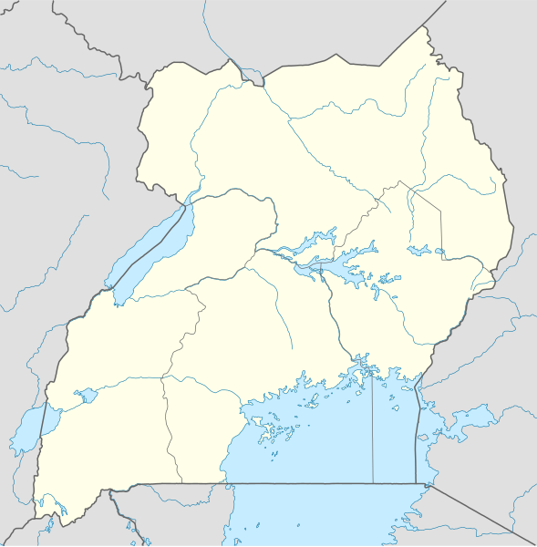
Deutsch: Positionskarte von Uganda
Quadratische Plattkarte. Geographische Begrenzung der Karte:
English: Location map of Uganda
Equirectangular projection. Geographic limits of the map:
|
|
| Data | ||
| Funtana |
Opera personala, using
|
|
| Autur | NordNordWest | |
| Lizënza (Tó ca danü chësc file) |
Questo file è disponibile in base alla licenza Creative Commons Attribuzione-Condividi allo stesso modo 3.0 Germania.
 Questo file è disponibile in base alla licenza Creative Commons Attribuzione-Condividi allo stesso modo 3.0 Germania.
|
|
| Altre versioni |
Derivative works of this file: Uganda location map Topographic.png |


|
Questa mappa è stata prodotta e/o migliorata nel Kartenwerkstatt, il laboratorio grafico della Wikipedia tedesca, dove è possible proporre mappe da migliorare.
|
Storia dl documënt
Druca sun na data/ëura per udëi l documënt coche l fo te chël mumënt.
| Data/Ëura | Miniatura | Grandëza | utënt | Cumentar | |
|---|---|---|---|---|---|
| atuel | 21:25, 1 dez 2009 | | 1 441 × 1 466 (431 KB) | NordNordWest | =={{int:filedesc}}== {{Information |Description= {{de|Positionskarte von Uganda}} Quadratische Plattkarte. Geographische Begrenzung der Karte: * N: 4.5° N * S: 1.7° S * W: 29.2° O * O: 35.3° O {{en|Location map of Uganda} |
Coche l document ie stat adurvà
Chësta plata adroa chësc documënt:
Coche l documënt ie stat adurvà ntëur l mond
Ënghe chësta wikis adroa chësc documënt:
- Adurvà sun af.wikipedia.org
- Adurvà sun am.wikipedia.org
- Adurvà sun an.wikipedia.org
- Adurvà sun ar.wikipedia.org
- Adurvà sun ast.wikipedia.org
- Adurvà sun av.wikipedia.org
- Adurvà sun azb.wikipedia.org
- Adurvà sun az.wikipedia.org
- Adurvà sun be-tarask.wikipedia.org
- Adurvà sun be.wikipedia.org
Mostra utilisaziun globala de chësc file.