
Whitfield (Northamptonshire)
| Articul per Ladin Gherdëina |
| Whitfield | |
|---|---|
 | |
| Nfurmazions prinzipeles | |
| Stat | |
| Nazion | |
| Contea zeremoniela | |
| Populazion | 274 ab. (2011) |
| Densità | 0,3 ab./km² |
| Spersa | 932,6 km² |
| Coordinedes | 52°3'2"N, 1°7'9"W |
| Codesc de la posta | NN13 |
| Prefis dl telefon | 01280 |
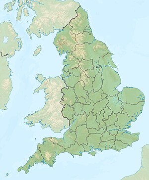
| Cherta | |
 Whitfield Whitfield (Nghiltiera) | |
Whitfield ie n luech te la Nghiltiera te la contea zeremoniela Northamptonshire.