
Hertford
| Articul per Ladin Gherdëina |
| Hertford | |
|---|---|
 | |
| Nfurmazions prinzipeles | |
| Stat | |
| Nazion | |
| Contea zeremoniela | |
| Populazion | 29 299 ab. (2021)[1][2] |
| Densità | 4 599,5 ab./km² |
| Spersa | 6,4 km²[3] |
| Coordinedes | 51°47'42"N, 0°4'41"W |
| Autëza | 43 m |
| Codesc de la posta | SG14, SG13 |
| Prefis dl telefon | 01992 |
| Plata internet | www |
| Cherta | |
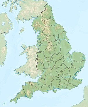 Hertford Hertford (Nghiltiera) | |
Hertford ie na zità te la Nghiltiera y la capitela de la contea zeremoniela Hertfordshire. Tl 2019 ovela na populazion de 28 689 abitanc.[4]
Geografia[mudé | muda l codesc]
Storia[mudé | muda l codesc]
Referënzes[mudé | muda l codesc]
- ↑ https://www.citypopulation.de/en/uk/eastofengland/hertfordshire/E35000899__hertford/.
- ↑ https://www.citypopulation.de/en/uk/eastofengland/hertfordshire/E35000899__hertford/.
- ↑ http://www.citypopulation.de/php/uk-england-eastofengland.php?cityid=E35000899.
- ↑ Office for National Statistics: UK Midyear Estimates 2019, Population Estimates for UK, England and Wales, Scotland and Northern Ireland, 25 juni 2019 (XLS-Datei; 1,4 MB).