Hertfordshire
Aspetto
| Articul per Ladin Gherdëina |
 | |
| Hertfordshire | |
|---|---|
| Contea zeremoniela de la Nghiltiera | |
 |
 |
 | |
| Nfurmazions prinzipeles | |
| Stat | |
| Nazion | |
| Sënta aministrativa | Hertford |
| Populazion | 1 195 672 ab. (2020)[1] |
| Spersa | 1 643,1 km²[2] |
| Densità | 727,7 ab./km² |
| Auter | |
| County town | Hertford |
| Codesc ISO 3166-2 | GB-HRT |
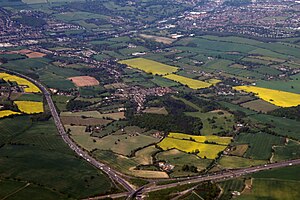
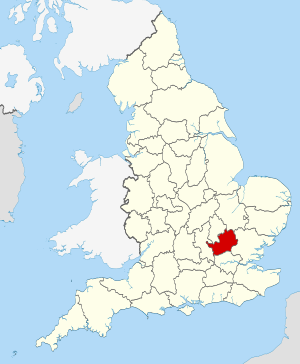
L Hertfordshire ie na contea zeremoniela de la Nghiltiera. Tl 2019 ovela na populazion de 1 195 672 sun na spersa de 1 643,1 km². Si sënta aministrativa ie a Hertford.
Geografia
[mudé | muda l codesc]
Storia
[mudé | muda l codesc]Referënzes
[mudé | muda l codesc]- ↑ https://www.citypopulation.de/en/uk/admin/.
- ↑ http://ons.maps.arcgis.com/home/item.html?id=a79de233ad254a6d9f76298e666abb2b.
