
Rango Forest
| Articul per Ladin Gherdëina |
| Rango Forest | |
|---|---|
| Nfurmazions prinzipeles | |
| Stat | |
| Stat federel | |
| Raion | Kalimpong |
| Tehsil | Gorubathan community development block |
| Populazion | 9 131 ab. (2011)[1] |
| Coordinedes | 27°2'11.18"N, 88°50'42.83"E |
| Cherta | |
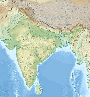 Rango Forest Rango Forest (India) | |
Rango Forest ie n luech te l'India tl stat federel Bengal dl Vest.Rango Forest ie tl Gorubathan community development block dl raion Kalimpong. Tl 2011 ovel na populazion de 9 131.[2]